The Desert Botanical Garden is a beautiful place. So is Boyce Thompson. But the reason people fall for Arizona isn't a curated collection behind an entrance fee — it's the drive up I-17 when the saguaros give way to junipers, then to ponderosa pines, and you realize you just watched a whole desert become a whole forest through your windshield.
This is a guide to seeing that in the wild. Eight species — six cacti and shrubs, two trees — with actual trailheads, actual mileposts, and the season each one shows up best. Every plant and every location below is sourced from a park page, a Forest Service trail description, an ADOT corridor plan, a BLM fact sheet, or a peer-reviewed vascular-plant inventory of a specific preserve. If we couldn't verify it, we said so.
A route note before you go: elevation is everything in this state. A saguaro will not grow above about 4,500 feet. A ponderosa pine will not grow below about 3,500. That is why the drive is the show — the plants keep swapping out as the highway climbs.
The 8 species
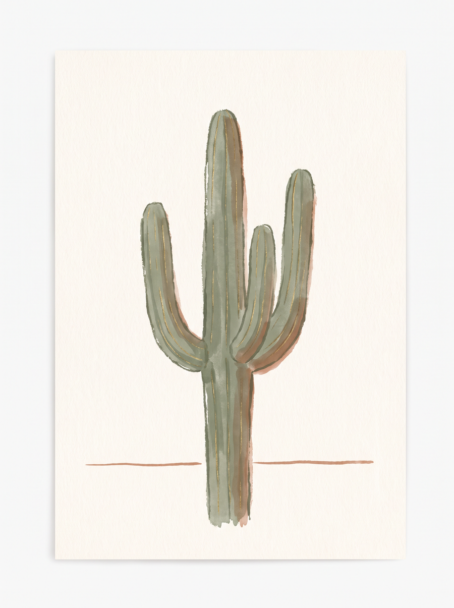
1 · Saguaro
Carnegiea giganteaThe one Arizona is famous for. A fluted trunk that can reach 50 feet and 2 tons, with the pleats visibly expanding after rain like an accordion. If it has arms, it's at least 60 years old — sometimes 100 in drier country.
Where to see it wild
- Palo Verde Trail #512, Bartlett Lake (Tonto NF) — the Forest Service describes the trail as running through "saguaro cactus, mesquite, palo verde and ironwood" in the Arizona Upland Sonoran Desert. From Carefree take Cave Creek Rd 7 miles, right on Bartlett Dam Rd 12.5 miles, left on FR 459.
- Spur Cross Ranch, Cave Creek — 44000 N. Spur Cross Rd. The preserve's own vascular-plant inventory calls saguaros "abundant" and "the tallest plants in this habitat," across 12 miles of trail.
- Black Canyon National Recreation Trail (BLM, I-17) — "saguaro forests" reached from I-17 Exit 232/233 (Emery Henderson TH at New River Rd), Exit 236 (Table Mesa), and Exit 242 (Rock Springs / Black Canyon City).
- Sonoran Desert National Monument (BLM, I-8) — an "extensive saguaro cactus forest" between 1,000 and 4,400 ft. Exit 140 (Freeman) or Exit 144 (Vekol).
- Lost Dutchman State Park, Apache Junction — the park lists saguaro among the Superstition front-range cacti. Pair with the Apache Trail (SR-88) byway, open MP 194 to MP 220 at Fish Creek Overlook.
Best time
Peak bloom late April through early June, with flowers opening at night and closing the next afternoon. For photos and comfort, aim for cool months and morning light.
The tell
If a rib forks, the pleat forks with it — that matched-pair rib-and-pleat pattern is the quickest visual confirmation. And the arms are the age marker: no arms yet means you're looking at a plant younger than most of the people looking at it.
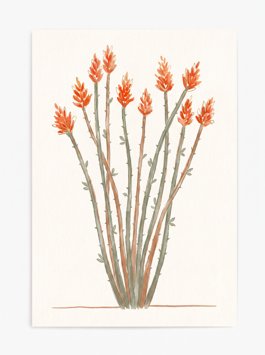
2 · Ocotillo
Fouquieria splendensNot actually a cactus. 6 to 100 whip-like canes rising in a vase from ground level, tipped with clusters of red flame-shaped flowers in spring. Looks like a bundle of dead sticks most of the year, then green leaves cover the stems within 24 hours of rain.
Where to see it wild
- Spur Cross Ranch, Cave Creek — "Shrub; common," often in localized populations. 44000 N. Spur Cross Rd.
- McDowell Sonoran Preserve, Scottsdale — recorded as widespread across the preserve from 1,700 to 3,835 feet.
- South Mountain Park & Preserve, Phoenix — field naturalist records confirm ocotillo on the mountain along the Hidden Valley / Kiwanis systems. (Same list that makes South Mountain the northernmost natural stand of elephant tree in Arizona.)
- Lost Dutchman State Park — on the park's flowering-plant list for the Superstition front.
- Grand Canyon inner-canyon scrub — NPS lists ocotillo as part of the park's scrubland communities, if you're headed north.
Best time
In southern Arizona, March through May, with the flower show lasting 50 to 60 days. Sporadic blooms after summer rain too. Flowers usually appear before the leaves.
The tell
Nothing else in the Sonoran Desert is a fan of thorny, unbranched canes with red flowers only at the extreme tips. If it looks dead and it rained yesterday, come back tomorrow — it will be green.
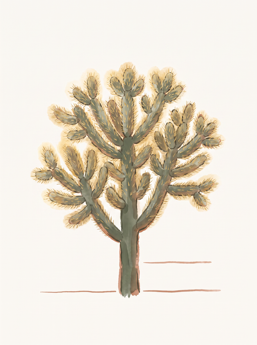
3 · Teddy Bear Cholla
Cylindropuntia bigeloviiThe one that glows gold when the sun hits it from behind — because it is packed with 4 to 12 spines per areole, so dense the green stem disappears. Do not touch it. The segments detach on contact and the spines are barbed.
Where to see it wild
- Waterfall Trail, White Tank Mountain Regional Park — the county's own interpretive guide places teddy bear cholla on the north side of the trail, keyed to numbered interpretive stops. Paved and short — bring the group.
- Spur Cross Ranch, Cave Creek — "Teddybear cholla. Succulent; locally common to occasional," per the preserve flora.
- McDowell Sonoran Preserve, Scottsdale — "Widespread, occasional" across the preserve.
- Lost Dutchman State Park — on the park's Superstition-front cactus list.
Best time
For the glowing-gold shot you came for, first hour after sunrise or last hour before sunset with the sun behind the plant. Flowers (small, green-yellow with red streaks — not showy) appear May and June.
The tell
Look at the ground around a mature plant. Every teddy bear cholla sits inside a litter ring of shed spiny joints. If a segment jumps onto your boot, that's the one.
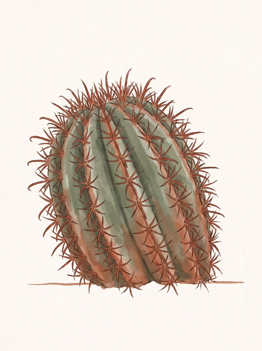
4 · Barrel Cactus
Ferocactus wislizeni · F. cylindraceusThe leaning one. Squat, ribbed, dense, with long red spines that start red and fade to gray. In the Phoenix–Cave Creek belt you'll usually be looking at the desert barrel (F. cylindraceus), not fishhook — both are in the same genus and look similar in the field.
Where to see it wild
- Waterfall Trail, White Tank Mountain Regional Park — the county interpretive guide places compass barrel on the south side of the trail, with hedgehog cactus.
- Spur Cross Ranch, Cave Creek — Ferocactus cylindraceus, "Desert barrel cactus. Succulent; common."
- McDowell Sonoran Preserve, Scottsdale — F. cylindraceus is "Widespread, common" across the preserve.
- South Mountain Park & Preserve, Phoenix — documented on the Hidden Valley / Kiwanis area.
- Lost Dutchman State Park — on the park cactus list.
Best time
The odd one on this list — barrels are monsoon bloomers. Fishhook barrel starts flowering "in July or August" and keeps at it for up to 8 weeks, with red-orange fruit ripening into fall.
The tell
It leans. The common name "compass barrel" reflects the tendency of mature plants to lean south. If you're standing next to a ribbed, squat cactus that looks tipped, and the stout central spines are distinctly hooked, you have a barrel.
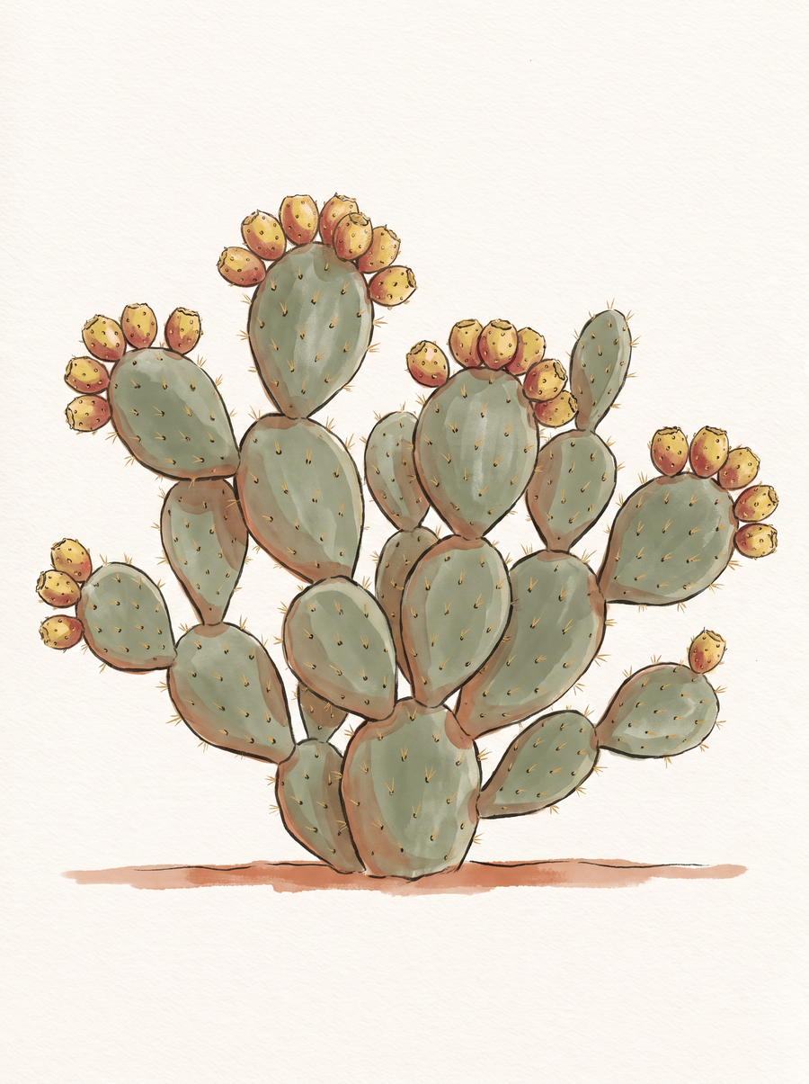
5 · Prickly Pear
Opuntia engelmannii · O. phaeacanthaThe one you can photograph in every corridor. Flat pads, up to 15 feet wide, with yellow flowers along the top edge in spring and deep-red tunas in late summer. Yavapai County records it from 1,500 to 7,500 feet, which is essentially the whole state.
Where to see it wild
- McDowell Sonoran Preserve, Scottsdale — both species: O. engelmannii "common" and O. phaeacantha "frequent, common" in the northern preserve.
- Spur Cross Ranch, Cave Creek — "abundant," plus a natural hybrid recorded on-site (Spur Cross flora).
- Island Trail, Walnut Canyon National Monument (east of Flagstaff) — NPS places prickly pear in an "Upper Sonoran" pocket along the Island Trail, inside ponderosa-pine country at 6,700 ft. The strangeness of finding it there is the point.
- Lost Dutchman State Park — on the park cactus list.
Best time
Flowers April through June. Fruit photographs best deep red in late summer.
The tell
Flat pads, and the flowers and fruit sit on the upper rim of the pad, not at the tip. Broken pads root where they fall, so if you're looking at a mound 14 feet across, that's one plant that cloned itself.
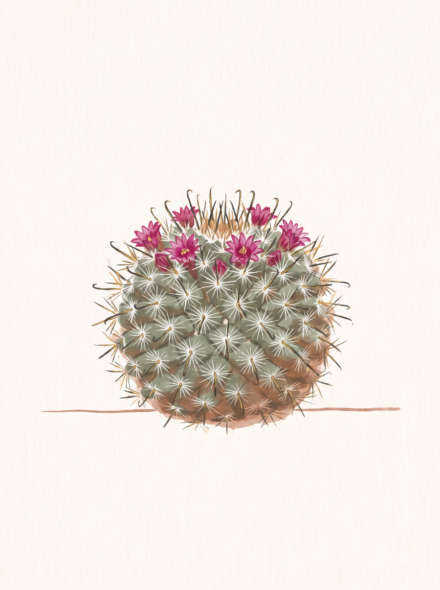
6 · Fishhook Pincushion
Mammillaria grahamiiThe small one you walk past. Only 2 to 6 inches tall, usually hiding under a creosote or bursage, easy to miss unless it's in bloom. When it does bloom, it wears a ring of bright-pink flowers around its top like a crown.
Where to see it wild
- Lookout Mountain Circumference Trail #308 & Shaw Butte / North Mountain Loop (Phoenix Mountains Preserve) — mapped to these routes by HikeArizona's species record.
- Prospector Loop, South Mountain (Phoenix) — same HikeArizona record.
- Fish Creek Vista, Apache Trail (SR-88) — at milepost 222.5, reached from the open Apache Junction–Fish Creek Overlook segment (MP 194–220).
- Trail #4 from Seven Springs, Tonto NF (north of Carefree) — recorded on the HikeArizona flora entry.
- Spur Cross Ranch, Cave Creek — "Graham's nipple cactus, Pincushion cactus. Succulent; occasional."
Best time
April through July, with a second flush after monsoon rain in July and August. Because the plant is small, go when it's flowering — otherwise you will walk right past it.
The tell
The pink flowers form a ring around the stem just below the top, not one bloom at the apex. And at least one central spine per areole is dark red-brown and hooked — that's the fishhook.
Verified, not guessed. Every trailhead and every bloom window above comes from a Forest Service, BLM, NPS, ADOT, or peer-reviewed source we linked in place.
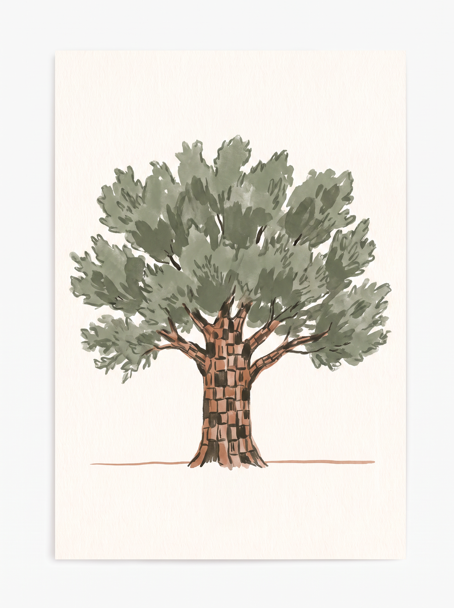
7 · Alligator Juniper
Juniperus deppeanaThe checkered-bark tree of the transition zone. Gray-brown bark broken into square plates 1 to 2 inches across — literally looks like alligator hide. It's the largest juniper in the southwest, can live up to 500 years, and reaches its northern limit near Flagstaff.
Where to see it wild
- Fatmans Loop Trail #25, Mount Elden (Flagstaff) — Coconino NF explicitly names alligator juniper on this trail, at a trailhead elevation of 6,876 ft. Half a mile northeast of the Flagstaff Ranger Station on US-89, on the north side of the highway.
- Mingus Mountain summit (Prescott NF, SR-89A between Jerome and Prescott Valley) — the Forest Service names alligator juniper in the 7,800-ft transition-zone mix. From Prescott, US-89 north to 89A, ~19 miles to FR-104 at the summit, then ~4 miles.
- Bull Springs Trail #100 (Prescott NF, Williamson Valley) — trail description names alligator juniper with ponderosa, pinyon, and oak. From Hwy 89 & Outer Loop Rd, 6 mi to Williamson Valley Rd, right 27 mi to CR-125, left ~9 mi.
- The "Hotshot Juniper" (Prescott NF, west of Granite Mountain) — a single 52-foot alligator juniper on a 4.8-mile round-trip, honoring the Granite Mountain Hotshots. From downtown Prescott: Montezuma → Whipple → Iron Springs Rd 10 miles → Contreras Rd (CR-122) 0.7 mi to the Contreras Trailhead.
- Red Rock State Park, Sedona — the park lists J. deppeana in its upland community, and the Forest Service confirms it as part of the Red Rock district's Pinyon-Juniper Woodland.
Best time
Year-round — it's an evergreen with no flower show. The bark alone earns the drive. If you want to see pollen, February and March. Mingus is best May through October.
The tell
Put your hand on the trunk. Distinct square plates 1 to 2 inches across. No other Arizona juniper has that bark. It will also be the biggest, heaviest juniper in sight.
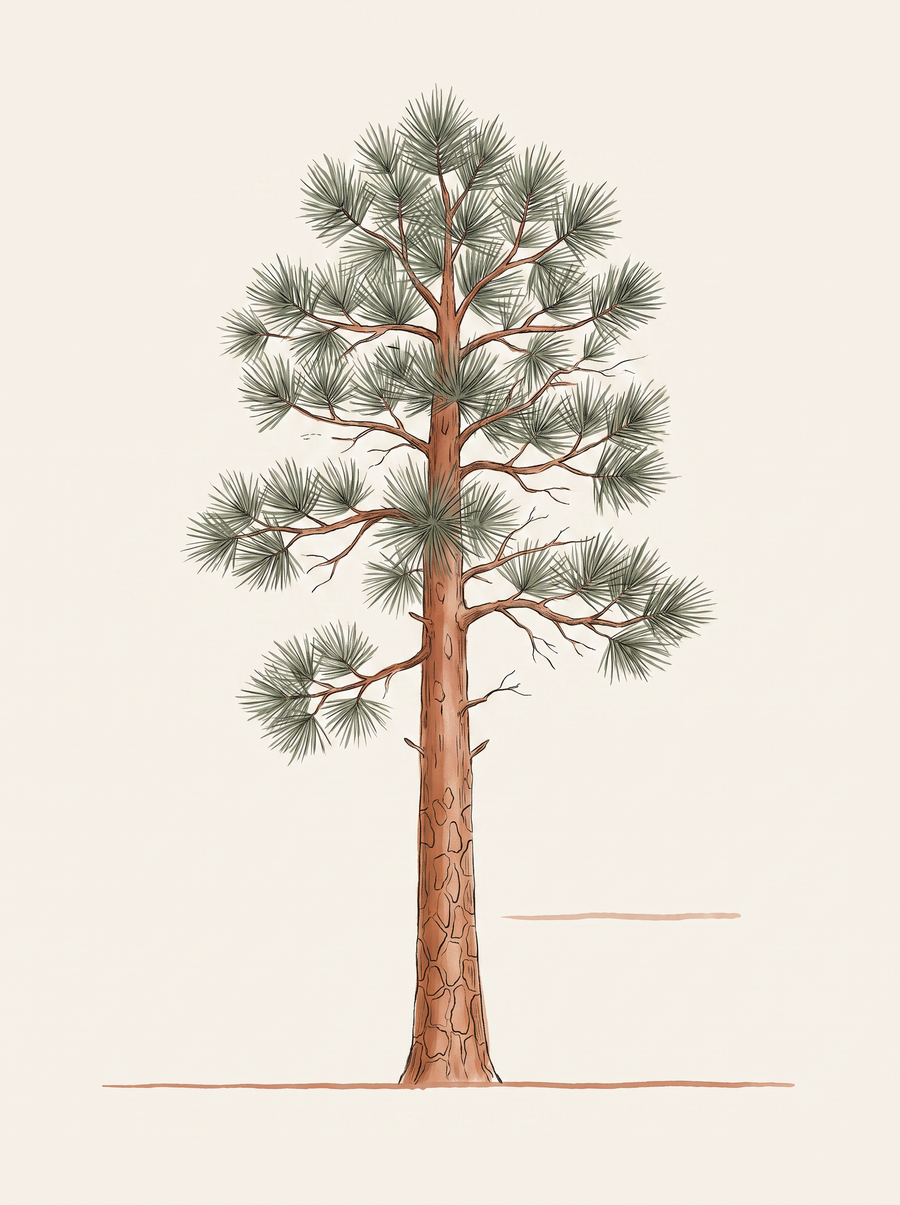
8 · Ponderosa Pine
Pinus ponderosaThe tall, straight, orange-barked pine that owns Flagstaff and the Mogollon Rim. UA Extension calls it "the most abundant species of pine in Arizona". Needles in bundles of three, up to 7 inches long. And on a warm day, the bark smells like vanilla.
Where to see it wild
- Mogollon Rim / Rim Lakes Recreation Area (Apache-Sitgreaves NF) — the Coconino calls this the "largest contiguous stand of ponderosa pine in the world". From Payson, 30 miles east on SR-260 to Rim Road (FR-300).
- Oak Creek Vista, SR-89A (Sedona to Flagstaff) — 6,437 ft, 14 miles south of Flagstaff / 13 miles north of Sedona, at the top of the Oak Creek Canyon switchbacks. This is the easiest drive-up ponderosa view in the state.
- Fatmans Loop Trail #25, Flagstaff — ponderosa is named on the trail alongside white fir at 6,876 ft.
- Mingus Mountain summit, SR-89A — an "open ponderosa pine forest" at 7,800 ft, with the odd cactus-and-agave mix at the top.
- Kachina Trail #150, San Francisco Peaks (Coconino NF) — for the upper edge of the ponderosa zone. Trail dips into "scattered ponderosa groves" from 9,340 ft down. 7 mi NW of Flagstaff on US-180, right on Snowbowl Rd 7 mi to the south lot.
Best time
Year-round — no flowers. The season it earns extra is spring, when sap flows and the bark "gives off a pleasant vanilla-like aroma". Rim wildflowers peak July–August.
The tell
Push your nose into a bark furrow on a big orange-plated trunk on a warm day. Vanilla or butterscotch. Then count needles: three to a bundle. A near-black-barked pine with the same needles is just a young ponderosa (nickname: "blackjack").
The drives that show you the transition
Elevation is the trick. Here are five routes where the plants change on you as the highway climbs.
Route 1 — I-17, Phoenix → Flagstaff (the classic 6,000-foot ladder)
I-17 gains more than a mile in elevation, from 1,117 ft in Phoenix to about 7,000 ft in Flagstaff.
- 1,100–2,500 ft: saguaro-dominated Sonoran Desert. Exits 232, 236, 242 all reach the BLM Black Canyon NRT saguaro forest.
- 2,000–4,500 ft (Exits 256–262): Agua Fria National Monument — grassland/chaparral–desert interface. Access at Badger Springs Rd (Exit 256), Bloody Basin Rd (Exit 259).
- 4,500–6,500 ft (Exit 298 SR-179 turnoff): pinyon-juniper woodland. A convenient low-end stop is Bell Trail #13 at 3,872 ft.
- 6,500–7,000 ft (Flagstaff): ponderosa pine forest.
Route 2 — SR-89A, Sedona → Flagstaff through Oak Creek Canyon
The designated scenic corridor runs milepost 375.5 to milepost 390 at Oak Creek Vista — 2,000 ft of elevation in about 15 road miles. Sedona (4,200 ft) is pinyon-juniper. Canyon floor is riparian — cottonwood, alder, sycamore, plus Arizona cypress as a Pleistocene relic. Top of the switchbacks at Oak Creek Vista (6,437 ft) is Rim ponderosa. This is the most-photographed elevation ladder in the state.
Route 3 — SR-89A, Prescott Valley → Jerome → Cottonwood (Mingus Mountain Scenic Road)
The Mingus Mountain Scenic Road runs milepost 332.0 to 343.5. Grassland at the base, then interior chaparral (shrub live oak) on the climb, then that surreal cacti-and-agaves-inside-a-ponderosa-forest mix at the 7,800-ft summit, then semidesert grassland down into the Verde Valley (3,000 ft) at Jerome, Clarkdale, and Cottonwood.
Route 4 — Apache Trail Scenic Byway, SR-88 east of Apache Junction
A 39-mile byway, largely unpaved, with 15–17% grades. Open: milepost 194 (Apache Junction) to milepost 220 (Fish Creek Overlook), and MP 229–242. MP 220–229 is closed indefinitely. The open lower stretch is a Sonoran-lowland showcase — the adjacent Lost Dutchman State Park documents saguaro, teddy bear cholla, chain-fruit cholla, buckhorn cholla, barrel, hedgehog, pincushion, prickly pear, plus ocotillo, jojoba, creosote and palo verde. Stop only at vista points with safe parking.
Route 5 — US-93, Wickenburg → Wikieup (Joshua Forest Scenic Road)
This is the single best drive in Arizona for watching one desert hand off to another. Mojave Desert between MP 185 and 172, Sonoran between MP 172 and 150. Joshua trees begin at MP 177 and continue about 10 miles north. Arizona Highways puts the dense stand and parkway sign around MP 162–169, with saguaros returning by MP 147 — so in about 30 miles of highway you can photograph a saguaro and a Joshua tree without leaving the same road.
Route 6 (bonus) — US-89, Flagstaff → Page
Ponderosa at Flagstaff, dropping into stunted pinyon on the Sunset Crater cinder fields, then Great Basin Desertscrub — sagebrush, blackbrush, Mormon tea, rabbitbrush — from Cameron to Page. No saguaros, no Joshua trees. Page is not the Sonoran Desert and it isn't the Mojave either.
Sonoran vs. Mojave, in one paragraph
The cleanest field test comes from Arizona Game & Fish: Mojave Desertscrub is creosote, brittlebush, white bursage, Joshua tree, Mohave yucca, mesquite and cat-claw acacia, at 1,000 to 3,000 ft — and "giant cacti and many tree species are generally absent." If you're in creosote-and-Joshua-tree country with no columnar cactus, you're in the Mojave. In Arizona, that's northwestern — the US-93 corridor above is where you can see the switch. The far-northwest stronghold is Grand Canyon–Parashant National Monument, remote and high-clearance-only.
Bloom calendar (quick reference)
| Species | Bloom window |
|---|---|
| Saguaro | Late April – early June (peak late May); night-opening |
| Ocotillo | March – May in S. Arizona; 50–60 days; sporadic after summer rain |
| Teddy bear cholla | May – June (small green-yellow flowers, not showy) |
| Barrel cactus | July – August, up to 8 weeks (monsoon bloomer) |
| Prickly pear | April – June; fruit late summer |
| Fishhook pincushion | April – July (plus a monsoon flush July – August) |
| Alligator juniper | No flowers; pollen Feb – March |
| Ponderosa pine | No flowers; vanilla bark scent strongest in spring |
The rules that end your day if you ignore them
- Phoenix trails close to dogs at 100°F. Under Parks & Rec Board policy. If it's forecast to hit triple digits, plan the day for elevation — or start at 5 a.m. and be off the mountain by 8. Full context in our dog-friendly-things guide.
- Do not touch cholla. Ever. The spines have reverse barbs and the segments jump onto you. Bring a comb (yes, a hair comb) if you're bringing a dog — it's the best tool for lifting a segment out of fur.
- Barrel cactus fruit is red-orange, but this isn't foraging territory. Native cacti in Arizona are protected. Photograph, leave.
- Apache Trail beyond MP 220 is closed indefinitely. Don't build a Fish Creek Hill drive-through into your day.
- The pavement test still applies at trailheads. If you can't hold the back of your hand on the ground for 7 seconds, your dog shouldn't be on that surface. Our pavement test guide has the full method.
Want the free rack card?
Every current Thrive Vibes guide — trailheads, addresses, and the pavement test that decides your whole day. Delivered as a printable PDF.
Get the free guide →